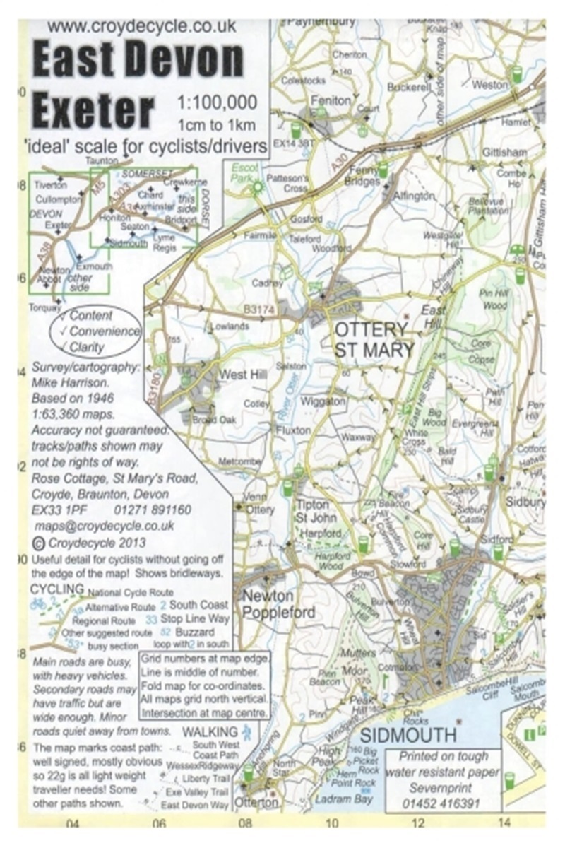
This map of the East Devon & Exeter area from Croyde Cycle is ideal for Cyclist and Drivers at 1:100,000 and covers a wide area around Exeter: Tiverton to the north, Newton Abbot to the south, Crediton to the west and Bridport and Crewkerne to the east.
Printed on light, water resistant and tear-resistant synthetic paper, each handy size 50 x 35cm (folded 12.5cm x17.5cm), is lightweight (22g) and map is double-sided to cover a wider area. Topography is indicated by contours at 10m intervals with graphics and/or colouring for different type of terrain (sand, shingle, mud, high or low cliffs, etc) and vegetation (woodlands, gorse, scrub, etc). An overprint highlights footpaths, permissive paths and small permissive paths, Bridleways, cycle tracks and country roads which are byways for all traffic. On other roads markings indicate routes which are part of the National Cycle Network. Symbols show locations of campsites and caravan sites, riding stables, pubs/cafes/restaurants, shops and other local facilities, etc. For GPS users each map has in the margins National Grid coordinates.
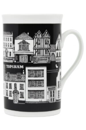
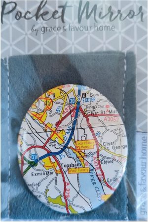
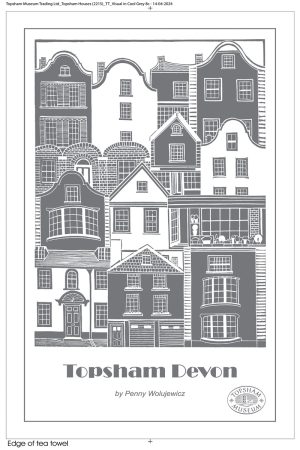
Gifts
East Devon, Exeter Area Cyclists and Drivers Map
£3.99
Covers Exeter, Tiverton, Newton Abbot, Crediton, Bridport and Crewkerne
Scale 1: 100 000
Out of stock
| Weight | .037 kg |
|---|---|
| Dimensions | 17.5 × 12.5 × 0.5 cm |